



Special to the Leader & Times
Beginning soon and continuing until late July, residents of Southwest Kansas may see a low-flying helicopter towing a large hexagonal frame. This aerial arrangement is part of a project to map groundwater conditions in the Ogallala aquifer in Southwest Kansas Groundwater Management District (GMD) 3.
GMD 3 and the Kansas Geological Survey, working with Aqua Geo Frameworks LLC of Fort Laramie, Wyo., have planned the helicopter flights to develop a better understanding of the Ogallala Aquifer. Similar airborne electromagnetic surveys covered 2,500 miles of Northwest Kansas GMD 4 in 2024 and 2,900 miles of Western Kansas GMD 1 in 2025. The project receives funding from the Governor’s Office, Kansas Legislature and Kansas Water Office.
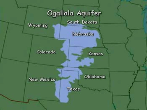
The Ogallala Aquifer is the principal water resource for agricultural, industrial and municipal use in GMD 3. Intensive pumping of water from the aquifer over the last 60-plus years has resulted in large groundwater level declines.
The objective of the project is to obtain information that will assist in developing strategies for charting more sustainable paths for the Ogallala aquifer in the district, according to project organizers. The state’s five GMDs are governed by local boards and provide water-use administration, planning and information. GMD 3 spans all or parts of Hamilton, Kearny, Finney, Gray, Ford, Stanton, Grant, Haskell, Morton, Stevens, Seward and Meade counties.
For further information, contact GMD 3 Manager Jason Norquest (